Beyond the Headlines: The 2026 El Niño Weather Cycle
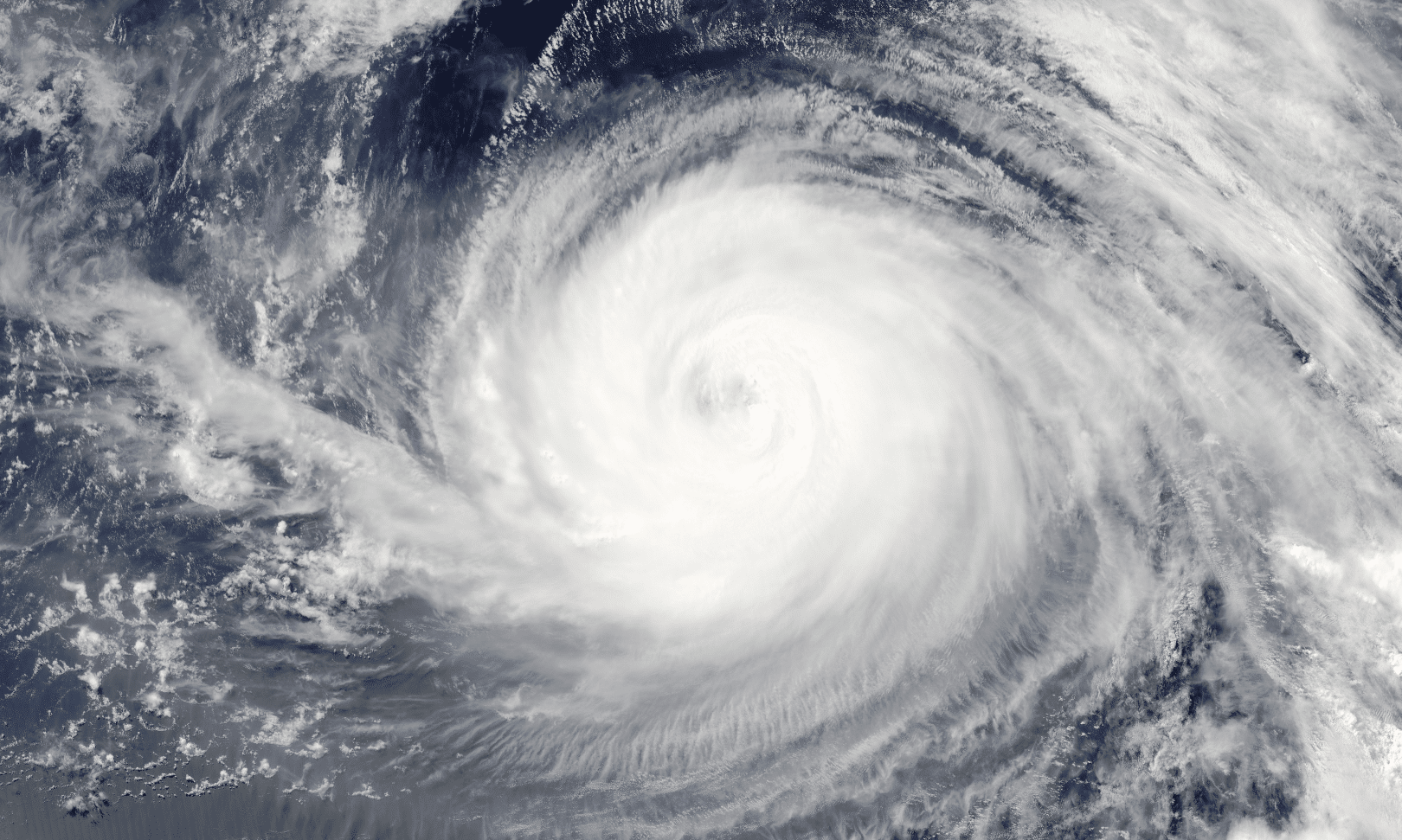
Every few years, the term “Super El Niño” starts trending. South African farmers immediately brace for the worst, and the panic cycle begins. But if you look at the actual data, the timing and impact of these events rarely match the headlines. By the time a strong El Niño actually reaches our rainfall patterns, it’s usually later, smaller in scope, and short-lived than the initial warnings suggest.
This isn’t just optimism; it’s actual science. When you stop reacting to the label and start tracing the actual mechanisms at play, a very different picture emerges.
At iLeaf, we’ve worked with our weather experts to look past the label. We’ve broken down the actual mechanisms driving our rain from the polar vortex to the Indian Ocean, enabling you to move beyond reactionary news cycles and make strategic decisions grounded in objective, mechanism-based data.
Why the Pacific Narrative Falls Short
Most climate analysis is written by researchers focusing on Pacific-focused environments. While the Pacific Ocean is the world’s largest body of water and naturally dictates global patterns, it is not the only driver of South African weather. Treating El Niño as a simple “on/off” switch for our rainfall ignores the local mechanisms that actually dictate our season, such as ocean currents shifting along our coastlines and atmospheric circulation catching up.
Understanding the “Circular” Weather Machine
To make better decisions, we have to look past the label. Weather is not a static state; it is a dynamic process of energy transfer between the poles and the equator.
The full circle sequence:
- The Polar Vortex: This is our starting point. When the vortex is strong, it traps cold air at the poles, allowing ice to form.
- Ocean Currents: Centrifugal forces move this water toward the equator.
- Cold/Dense (La Nina): Moves quickly, resulting in colder equatorial temperatures.
- Warm/Lighter (El Nino): Moves slowly, resulting in warmer equatorial temperatures.
- The Annual Reset: Every year, the weather system undergoes an “annual reset” driven by solar activity and the polar vortex. Weather indicators don’t simply repeat linearly; they are dynamic. Understanding this continuous, circular cycle is the key to moving beyond static, single-indicator forecasts.
The Two Drivers of South African Rain
To make better decisions, we have to move beyond the label and understand the two distinct drivers of South African rain:
- Winter Rainfall (Mechanical): Shaped by the South Pole. It’s a mechanical process driven by the strength of the polar vortex and the movement of cold fronts.
- Summer Rainfall (Thermal): Depends on the temperature contrast between the oceans on either side of southern Africa, particularly the Indian Ocean. This contrast dictates where rain-bearing systems track as they move south.
Exposing the “Super El Niño” Catastrophe
A Super El Niño is not the guaranteed catastrophe that many predict. Its impact on South Africa is tied to how warm equatorial water travels down our east coast, eventually shifting the Indian Ocean Dipole. If this shift happens, it may move the “barrier line” for rainfall eastward, which could impact the central and western parts of our summer rainfall belt. Importantly, this is a dynamic shift based on the barrier’s position, not a guaranteed drought.
Get the Full 2026 El Niño Report
We have worked through the mechanisms chronologically, from the polar vortex to the Indian Ocean’s influence, to help farmers plan based on more than just a single sensationalised headline.
If you want to move beyond the noise and understand the mechanics that actually move the needle on your production, access the full report.